-
Airfield Research - Bettendorf, Iowa
I am putting together an article for our EAA chapter newsletter on Wallace Field circa the 1920s. The airfield was located just east of Bettendorf, IA along the river. Many do not know of the airfield. Is not listed on the Abandoned Airfield website. I am looking for a map that would show the airfield. The Rand McNally map from 1929 (either the Illinois map or the Iowa map) should show it. The 1929 Rand McNally map is titled, "Standard Indexed Map - Illinois - Detailed Commercial Map, Air Trials Map, Road Map" or "Standard Indexed Map - Iowa - Detailed Commercial Map, Air Trials Map, Road Map". Anyone have the Rand McNally map or another from the 1920s that shows the Quad Cities area??
-
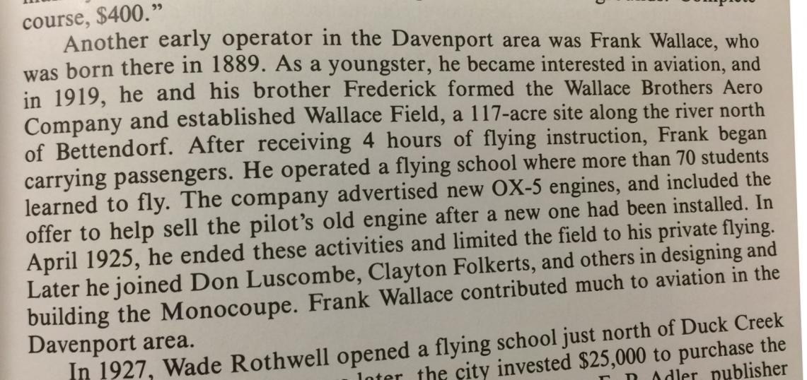
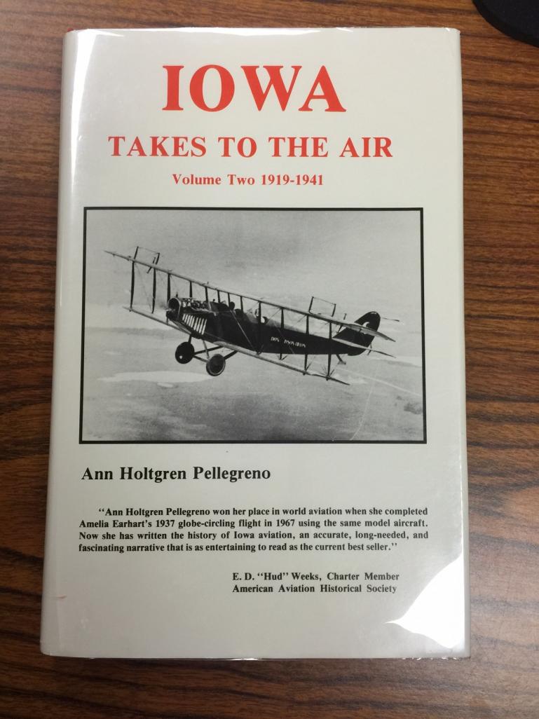
I checked in the EAA Library and unfortunately none of our publications have a detailed map of that area. However, I did find this bit of info in the book, Iowa Takes to the Air: Volume II by Ann Pellegreno.
 Posting Permissions
- You may not post new threads
- You may not post replies
- You may not post attachments
- You may not edit your posts
-
Forum Rules


 Reply With Quote